
Catra Lederata near Ram
The course of the Danube near Ram turns to the north and makes a big bend, bypassing rocky and extremely steep cliffs, over 30 m high. Opposite Ram, closer to the left bank, a larger river island, ada Sapaja, was formed by drifts of river silt and sand, which was submerged due to the rising water level after the construction of the Djerdap Dam. On the opposite bank are the confluences of the Karaš (today channeled into the Danube-Tisa-Danube) and Nera rivers. The extremely favorable natural conditions for crossing the river have attracted people since prehistoric times to form their settlements and fortifications at this crossroads, in order to control and use this important strategic position.
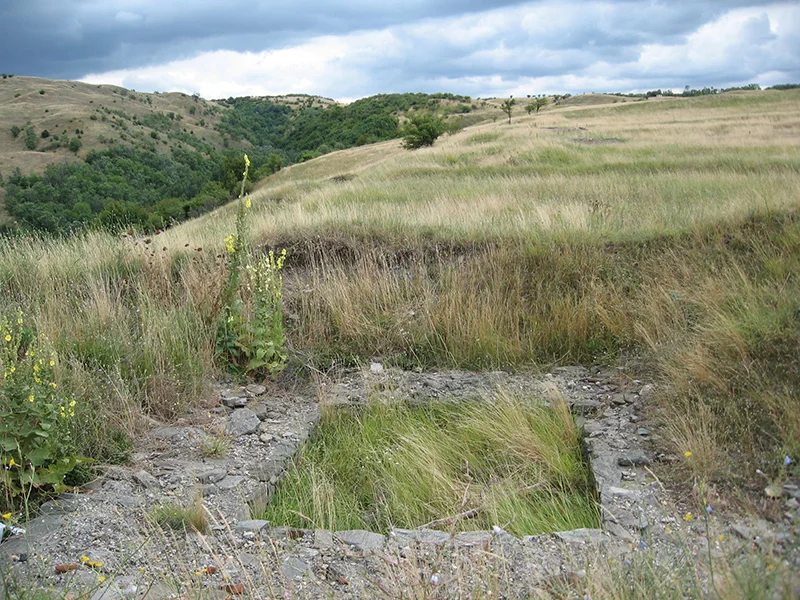
The largest and throughout history the most important fortification in the wider area of Rama is located on the dominant plain “Grad”, 1 km east of the present-day settlement, which was protected from the north by a stone cliff, and from the west and east by the cuttings of two streams. The visible stone foundation remains of the rampart up to 3 m thick of the rectangular fortification measuring 140 x 200 m, with 11 semicircular towers and the main entrance on the south side, which are visible today, are mostly identified with Lederet. As additional protection, an outer rampart was built, and a trench was dug in the space between.
The original fortification was built during the 1st century AD. in the period of the Roman occupation of the Danube and the establishment of a military border – limes along the Danube. Nyag’s importance was particularly important at the beginning of the 2nd century, when Trajan led two wars against the Dacians, because it is believed that the majority of military troops were transferred to the Dacian territory at this very place. The security of the crossing was additionally strengthened by the construction of fortifications on Sapaja and on the opposite Banat coast.
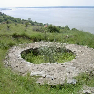
During the time of Justinian (527-565), the fort was rebuilt by building a smaller fortification (50 x 60 m) in the northeast corner of the old fort. Historical sources from that time locate Lederata on the left bank, which created doubts about the exact location of the site. Given that the sources are from different periods, it is likely that the perception of the writers varied as historical circumstances changed.